About Crossroads Trails
Crossroads Trails was created to help residents and visitors navigate West Central Indiana’s vast network of trails and outdoor amenities. With easy-to-use mapping features and amenity layers, this app is the perfect tool...
Crossroads Trails was created to help residents and visitors navigate West Central Indiana’s vast network of trails and outdoor amenities. With easy-to-use mapping features and amenity layers, this app is the perfect tool for trail users of all experience levels.
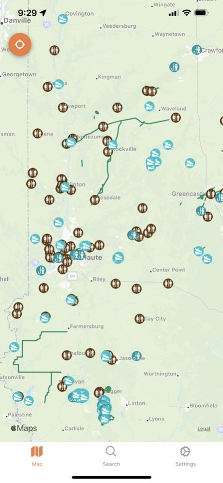
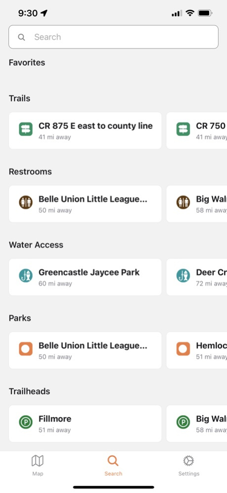
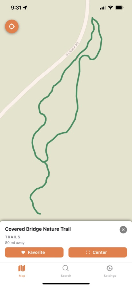
Currently, we are working on expanding our content layers to provide even more useful information down the road. Our current content includes Parks, Current Trails, Planned Trails, Trailheads, Water Access & Restrooms. We plan to work with our users to expand the accuracy and add useful information such as trail-friendly businesses and other amenities along with trail types.
Covering Clay, Parks, Putnam, Sullivan, Vermillion, and Vigo Counties.
Added more info section support
Oct 3, 2022
Version 1.4.1
Fixed bug in more info data being displayed.
Previous Versions
Here you can find the changelog of Crossroads Trails since it was posted on our website on 2023-09-06 18:21:34.
The latest version is 1.4.1 and it was updated on 2024-04-22 09:38:48. See below the changes in each version.
Crossroads Trails version 1.4.1
Updated At: 2022-10-03
Changes: Oct 3, 2022
Version 1.4.1
Fixed bug in more info data being displayed.
Disclaimer
Official App Store Link
We do not host Crossroads Trails on our servers. We did not scan it for viruses, adware, spyware or other type of malware. This app is hosted by Apple and passed their terms and conditions to be listed there. We recommend caution when installing it.
The App Store link for Crossroads Trails is provided to you by apps112.com without any warranties, representations or guarantees of any kind, so access it at your own risk.
If you have questions regarding this particular app contact the publisher directly. For questions about the functionalities of apps112.com contact us.